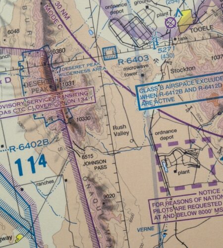
In the vast realm of human knowledge and history, traditional navigation and cartography stand as testaments to our ancestors’ ingenuity and understanding of the world. Long before the advent of GPS and digital maps, ancient mariners and explorers relied on the stars, winds, and rudimentary charts to traverse oceans and continents. Studying these traditional methods of navigation and the art of old-world map-making is not only a journey into the past but also an exploration of the diverse ways in which different cultures interacted with and understood their world.

The study of traditional navigation involves delving into the techniques used by ancient sailors and travelers. These methods were often closely tied to natural phenomena and indigenous knowledge. For example, Polynesian wayfinders navigated vast expanses of the Pacific Ocean using their deep understanding of star movements, ocean currents, and bird migrations. Similarly, the Vikings navigated the North Atlantic with an intimate knowledge of the sea and sky, possibly using sunstones to determine the sun’s position on cloudy days.
Studying these ancient navigation techniques provides insight into the resourcefulness and adaptability of our ancestors. It also highlights the importance of oral tradition and cultural transmission, as much of this knowledge was passed down through generations without written records.
In parallel, the art of traditional cartography offers a fascinating window into how our ancestors viewed and represented their world. Ancient maps were more than just navigational tools; they were works of art and science, often filled with elaborate illustrations and reflecting the cartographer’s worldview. These maps tell us about the geographical knowledge of the time, as well as the myths, religions, and political landscapes that influenced their creators.


For example, medieval maps of Europe often placed Jerusalem at the center of the world, reflecting the religious beliefs of the time. Chinese maps from the Ming Dynasty period reveal an advanced understanding of cartographic principles and a detailed knowledge of Asian geography.
Engaging in the study of traditional navigation and cartography is not only an academic pursuit but also a way to understand the broader historical and cultural contexts of exploration and discovery. It provides a deeper appreciation for the skills and knowledge of ancient explorers, who charted seas and lands without the technology we take for granted today.
Furthermore, this study has practical implications in today’s world. Rediscovering and preserving these ancient skills and knowledge can be crucial for cultural preservation, especially for indigenous communities. They offer alternative ways of understanding and interacting with our environment, which can be particularly relevant in the context of environmental conservation and sustainable practices.
Conclusion
In conclusion, studying traditional navigation and cartography is a journey through time and across cultures. It illuminates the ways our ancestors made sense of the world and navigated its vast expanses. This exploration not only enriches our understanding of history but also underscores the ingenuity and resilience of the human spirit in its quest to explore and map the unknown. As we continue to uncover and learn from these traditional practices, we keep alive a crucial part of our shared human heritage.


Comments